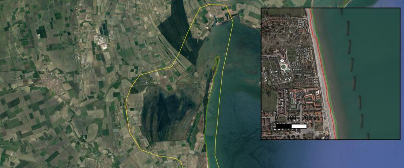
The CGAT research group from the Universitat Politècnica de València and the ECFAS Team are glad to announce that the Shoreline Analysis and Extraction Tool (SAET) is now freely available to download from Zenodo. SAET is a novel open-source tool that enables the automatic detection of shoreline position using the optical imagery acquired by the Sentinel-2 and Landsat 8 and 9 satellites. The SAET tool is accompanied by the algorithms for satellite derived shoreline mapping and shorelines dataset, also available from Zenodo. The tool was developed in the framework of the ECFAS H2020 project.
The SAET products are described in the recent publication by the CGAT-UPV team:
Palomar-Vázquez, J.; Pardo-Pascual, J.E.; Almonacid-Caballer, J.; Cabezas-Rabadán, C. Shoreline Analysis and Extraction Tool (SAET): A New Tool for the Automatic Extraction of Satellite-Derived Shorelines with Subpixel Accuracy. Remote Sens. 2023, 15, 3198. https://doi.org/10.3390/rs15123198
SAET tools are the latest products from ECFAS that have been made publicly available. You might also be interested in the ECFAS Coastal Dataset. It represents a single access point to publicly available Pan-European datasets that provide key information for studying coastal areas.
Stay tuned for more!
